Expertise

Surveying and Digital Modeling

Our Digital Surveying and Modeling Department provides precise documentation of existing buildings, infrastructure, and sites to support design, renovation, and technical analysis projects. Using advanced data-capture technologies, including 3D laser scanning and point-cloud acquisition, our teams produce detailed surveys that serve as a reliable foundation for project design and coordination.

These surveys can be used to produce digital models, existing-condition drawings, or BIM models integrated into multidisciplinary design processes. Whether documenting a heritage building, modeling existing technical installations, carrying out a georeferenced site survey, or preparing for a transformation project, our teams provide accurate and structured data that allow professionals to work with a clear and complete understanding of existing conditions.

01

High-Precision 3D Scanning

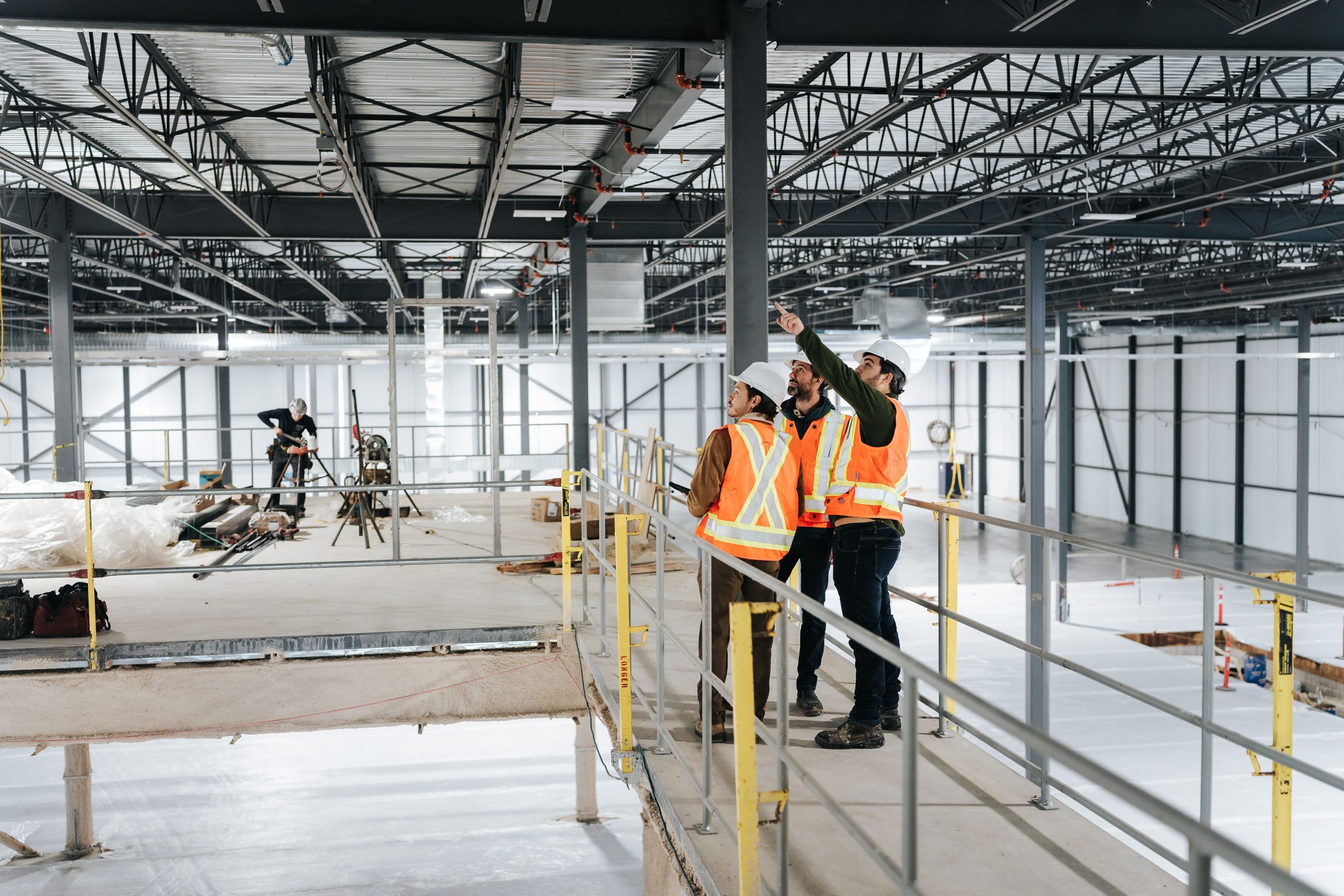
Our teams carry out detailed three-dimensional surveys of buildings, infrastructure, and sites using high-precision laser scanners. This technology allows existing environments to be captured quickly and accurately, producing dense point clouds that represent the space with a very high level of detail. Surveys can be performed both indoors and outdoors without disrupting ongoing operations, and they provide a reliable foundation for analysis, renovation, or transformation projects involving existing facilities.

02

Georeferenced Point Clouds

Following field surveys, our teams assemble, clean, and process the collected data to produce structured and georeferenced point clouds. These highly detailed digital datasets allow precise measurements and dimensions to be extracted while providing a comprehensive understanding of the existing site or building. Point clouds therefore serve as a reliable basis for future project design, technical analysis, and documentation of existing conditions.

03

BIM Modeling and Revit Models

Using the point cloud as a reference, our teams develop digital models of buildings, structures, or existing installations within a BIM environment. The models produced, particularly in Revit, accurately represent the elements captured during the survey and organize information in a way that is directly usable by building professionals. These models facilitate coordination between disciplines, support planning for construction work, and allow new interventions to be integrated effectively within existing conditions.

04

3D Data Visualization and Sharing

Survey data can be shared through digital viewers that allow users to navigate directly within the point cloud environment. Our teams enable interactive consultation of the survey data, allowing measurements to be taken remotely and elements to be identified through photographs and annotations. Virtual 360-degree tours can also be generated to improve understanding of the site and to allow project stakeholders to access key information without needing to be physically present.

05

Analysis and Use of Survey Data

The digital surveys produced by our teams provide a powerful tool for technical analysis and decision-making in engineering or asset management projects. They can be used to document the condition of buildings or infrastructure, verify existing conditions, analyze deformations, and support the design of new interventions. The structured use of this data also improves coordination between disciplines and contributes to greater accuracy and efficiency throughout the project lifecycle.

This site uses cookies to ensure its proper functioning, improve performance, analyze usage, personalize content and offers, and display targeted ads based on information you have provided or that they have collected from social networks and other third-party sites. These cookies cannot be refused.

Read more